Aqua-Line traffic checks and Umihotaru guide
The Tokyo Bay Aqua-Line connects Kawasaki and Kisarazu. Before travelling, check closures, speed restrictions and direction as well as congestion. Here are the essentials for commuting, highway buses and visiting the four cities.
Check NEXCO's current information and roadside signs for closures and speed limits. Forecast wind speeds and old reopening articles cannot establish current conditions. Do not operate your phone while driving.
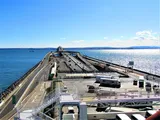
Aqua-Line length and structure
Opened on 18 December 1997, the Aqua-Line runs about 15.1 km (15,100 m) between Kawasaki and Kisarazu. It is not one continuous bridge. Umihotaru divides roughly 10 km of undersea tunnel on the Kawasaki side from about 5 km of bridge on the Kisarazu side.
An undersea road beneath shipping routes
On the busy shipping side towards Kawasaki, the road goes underwater, reaching about 60 m below sea level at its deepest point. Umihotaru is the artificial island where tunnel becomes bridge—a structural transition as well as a place to stop above the sea.
Tokyo Bay views from Umihotaru
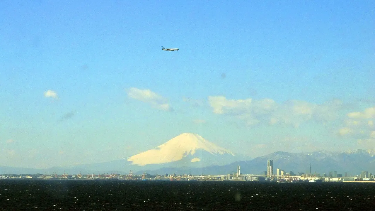
The fifth-floor observation decks offer sea views all around. With clear air and good visibility, look for Mount Fuji and Tokyo Skytree, or watch passing ships and aircraft. The scenery is a reason to stop even without shopping. Sunny weather alone does not guarantee distant views; haze and clouds can obscure them.
What is the Tower of Wind?
Look towards Kawasaki for the blue-and-white striped Kaze no To, or Tower of Wind. Officially Kawasaki Artificial Island, it houses ventilation facilities for the undersea tunnel. It is separate from Umihotaru and is not a place visitors can freely land. This unusual landmark supports the road hidden beneath the bay.
Official Umihotaru overview of the Aqua-LineA stop combining views and indoor facilities
Start with the fifth-floor views, then head to the fourth-floor footbath or shops, or the fifth-floor dining area. Towards Kisarazu, the bridge stretches across the sea; towards Kawasaki lies the bay above the tunnel. In strong winds, enjoy the view from indoors. Take photographs only from safe stopping places, never by stopping on the road.
Official observation deck guideKawasaki-bound and Kisarazu-bound
Umihotaru separates the undersea tunnel on the Kawasaki side from the bridge on the Kisarazu side. Kisarazu to Kawasaki is the inbound direction (上り); Kawasaki to Kisarazu is outbound (下り). Check both the direction and affected section.
Strong winds and traffic restrictions
NEXCO may warn in advance of possible wind-related closures. A possible closure, an active closure and a reopening are different announcements. Check the latest notice before departure and at rest stops, and obey road signs. Do not infer reopening times or speed restrictions from general weather forecasts.
Planning around congestion or closures
Check both legs of your journey and allow time for rest and toilet stops. Postponing departure is an option during a closure. Check highway bus operations separately with the operator. An alternative route is not necessarily open.
Resting at Umihotaru
Umihotaru is a parking area on the Aqua-Line accessible from both Kawasaki and Kisarazu. Follow on-site signs for your onward direction. The official Umihotaru guide explains U-turn procedures and tolls.